Hurricane Matthew impact in the City of Greenville
BEFORE THE TAR RIVER CRESTED (Monday, October 10, 2016)
Hurricane Matthew has cut a wide swath of damage and flooding in the state of North Carolina. As the City of Greenville, located in the Tar-Pamlico River Basin in Eastern North Carolina, deals with rising water in the Tar River, below are images that document the impact of the flooding in the city. The Tar River is located to the north of Greenville flowing west to east, dividing the city into a lower elevation north side and higher elevation south side. Most of the flooding impacts are in the floodplain areas immediately south of the Tar River and to the floodplain areas in the north. The first set of images below were taken on Monday, October 10, 2016 between 10:00am-11:30am, BEFORE the water in the Tar River had crested. According to NOAA, the Tar River was initially projected to crest at 26.1 feet, which was later revised to 24.5 feet.
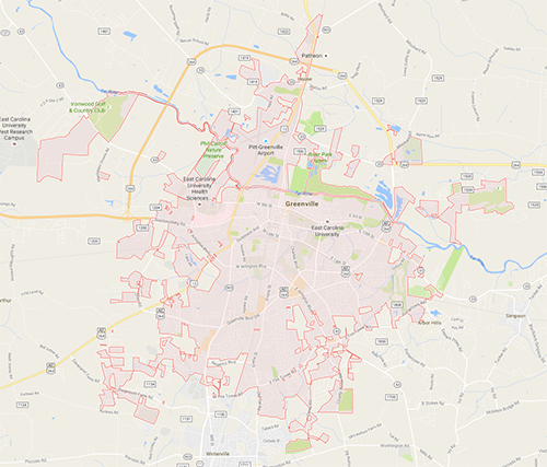
Map of Greenville
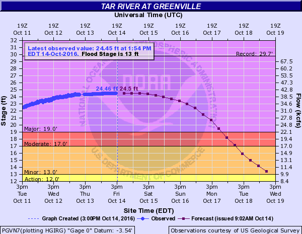
October 14, 2016: River Stage Projections for the Tar River
BEFORE THE TAR RIVER CRESTED (Monday, October 10, 2016)
VIDEO: Tar River Flooding After Hurricane Matthew
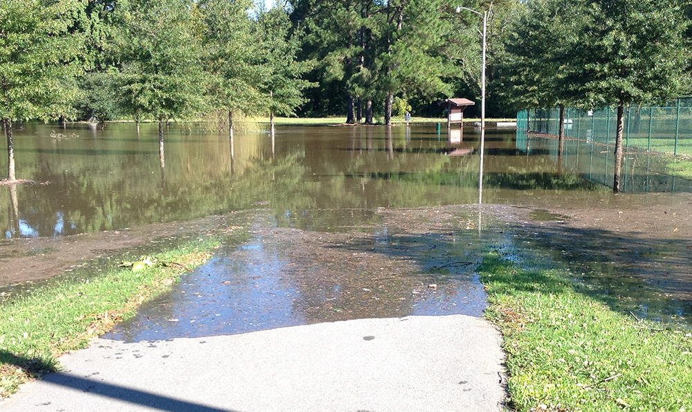
October 10, 2016: Dog park at Greenville greenway.
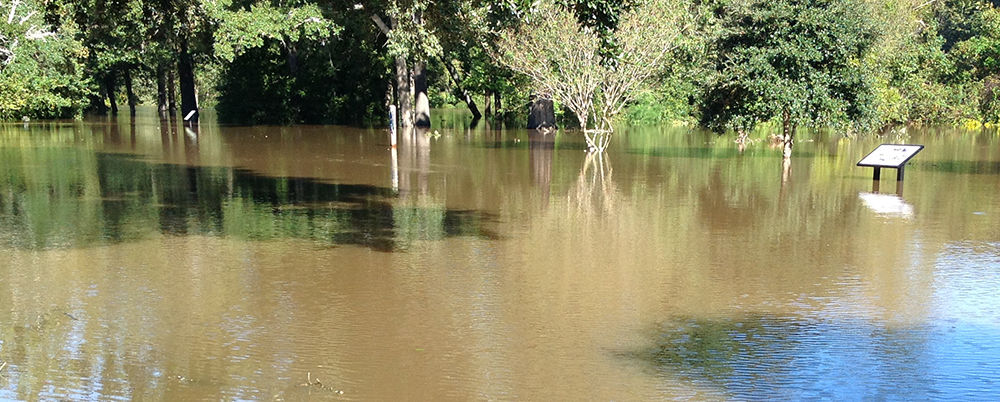
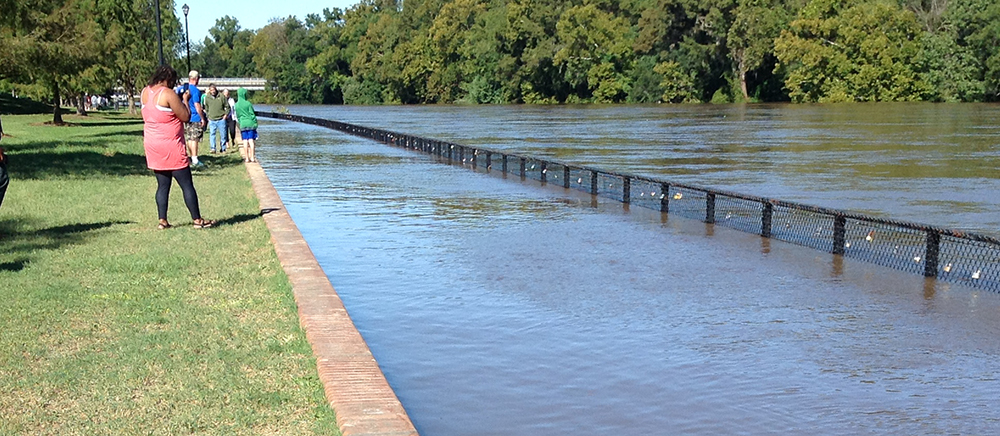
October 10, 2016: Greenville greenway trail underwater, only the information boards are visible.
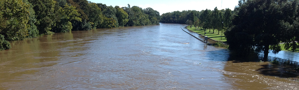
October 10, 2016: Greenville Town Commons from the Greene street bridge.
October 10, 2016: Tar River flooding at the Town Commons.