Archive for the ‘Research’ Category

Article on Transbounary Financing of Post-Diaster Recovery

For those interested in international disasters, my recently published article, Funding Flows: Transboundary Considerations of Disaster Recovery, looks at the transboundary processes of disaster recovery, specifically related to the financing of post-disaster recovery. Depending on the scale and visibility of the disaster and local capacities, financial arrangements, resources, and assistance can come from a variety of sources including the government, international institutions, private sector, and non-governmental and civil society organizations. In particular, transnational financing from bilateral donors and international financial institutions, which constitute multilateral and bilateral streams of financing for post-disaster recovery, comprise a significant percentage of recovery funding globally. Such flows, although inherently transboundary, are not well understood as a phenomenon. Read the article to learn more.
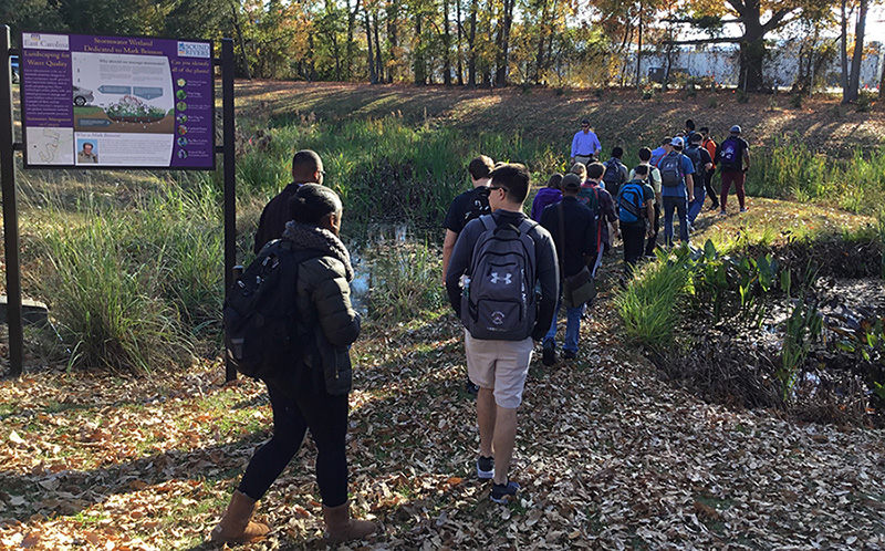
Urban Design Field Trip

PLAN 4003 Campus Field Tour_EditedGeography and Planning students in Urban Design class (Fall 2017) on a field tour to learn about exciting stormwater management initiatives and design on East Carolina Campus. Looking at a constructed wetland with John Gill (Assistant Director, Facilities Services and Landscape Architect) and Chad Carwein (Sustainability Manager at ECU).

Article on Post Disaster Housing Recovery

POST-DISASTER HOUSING RECOVERY

Rapid urbanization and growing populations have put tremendous pressures on limited global housing stocks. As the frequency of disasters has increased with devastating impacts on this limited stock of housing, the discourse on post-disaster housing recovery has evolved in several ways. Prior to the 1970s, the field was largely understudied, and there was a narrow understanding of how households and communities rebuilt their homes after a catastrophic event and on the effectiveness of housing recovery policy and programs designed to assist them. Early debates on post-disaster housing recovery centered on cultural and technological appropriateness of housing recovery programs. The focus on materials, technology, and climate missed larger socioeconomic and political complexities of housing recovery. Since then, the field has come a long way: current theoretical and policy debates focus on the effect of governance structures, funding practices, the consequences of public and private interventions, and socioeconomic and institutional arrangements that effect housing recovery outcomes.

There are a number of critical issues that shape long-term post-disaster housing recovery processes and outcomes, especially in urban contexts. Some of them include the role of the government in post-disaster housing recovery, governance practices that drive recovery processes and outcomes, the challenges of paying for post-disaster housing repair and reconstruction, the disconnect between planning for rebuilding and planning for housing recovery, and the mismatch between existing policy programs and housing needs after a catastrophic event—particularly for affordable housing recovery. Moreover, as housing losses after disasters continue to increase, and as the funding available to rebuild housing stocks shrinks, it has become increasingly important to craft post-disaster housing recovery policy and programs that apply the limited resources in the most efficient and impactful ways. Creating housing recovery programs by employing a needs-based approach instead of one based solely on loss could more effectively focus limited resources on those that might need it the most. Such an approach would be broad based and proportional, as it would address the housing recovery of a wide range of groups based upon their needs, including low-income renters, long-term leaseholders, residents of informal settlements and manufactured homes, as well as those with preexisting resources such as owner-occupant housing.

Hurricane Matthew impact in the City of Greenville

AS THE TAR RIVER CRESTED (Friday, October 14, 2016)

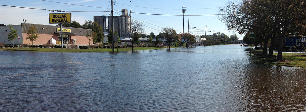
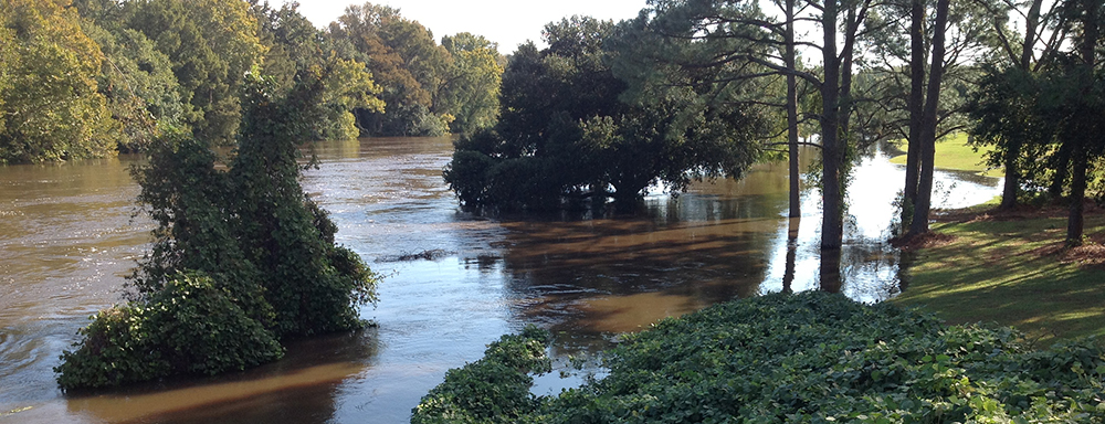
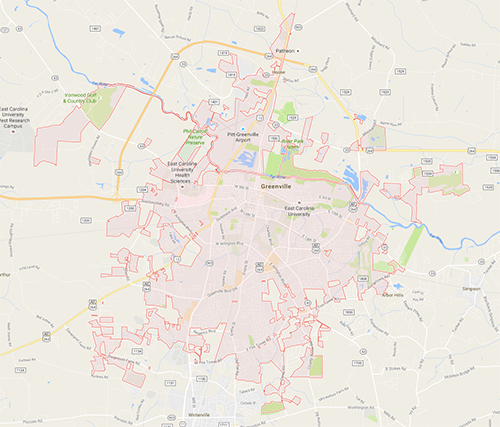
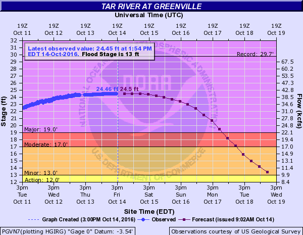
Hurricane Matthew has cut a wide swath of damage and flooding in the state of North Carolina. As the City of Greenville, located in the Tar-Pamlico River Basin in Eastern North Carolina, deals with rising water in the Tar River, below are images that document the impact of the flooding in the city. The Tar River is located to the north of Greenville flowing west to east, dividing the city into a lower elevation north side and higher elevation south side. Most of the flooding impacts are in the floodplain areas immediately south of the Tar River and to the floodplain areas in the north. The second set of images below were taken on Friday, October 14, 2016 between 10:00am-11:30am, AS the water in the Tar River crested. According to NOAA, the Tar River was initially projected to crest at 26.1 feet, which was later revised to 24.5 feet.

greenville_01
October 14, 2016: Flooding at the Pitt-Greenville airport. Critical infrastructure in the floodplain.

greenville_02
October 14, 2016: Flooding on Airport Road.

greenville_03
October 14, 2016: National Guard truck on Airport Road.

greenville_04
October 14, 2016: Flooding on Memorial Drive north of Tar River.

greenville_05
October 14, 2016: Flooding at gas station on Memorial Drive north of Tar River.

greenville_06
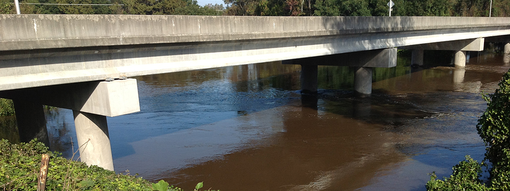
October 14, 2016: Water under the Pitt Street bridge.

greenville_07
October 14, 2016: Flooding at Town Commons.

greenville_08
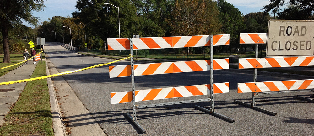
October 14, 2016: Greene Street bridge closure.

greenville_09
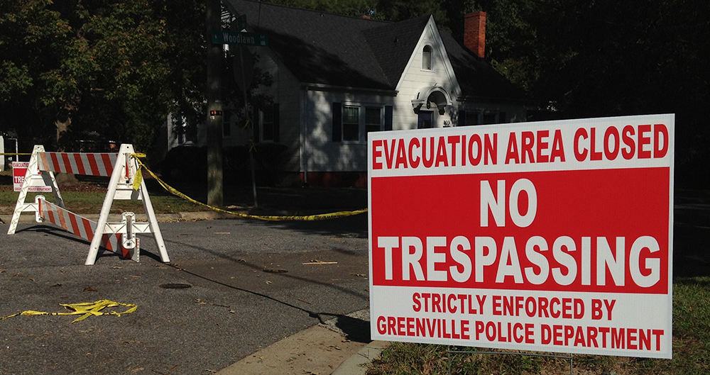
October 14, 2016: First street neighborhoods under mandatory evacuation.

greenville_10
October 14, 2016: Evacuation areas closed off.

Hurricane Matthew impact in the City of Greenville

BEFORE THE TAR RIVER CRESTED (Monday, October 10, 2016)

Hurricane Matthew has cut a wide swath of damage and flooding in the state of North Carolina. As the City of Greenville, located in the Tar-Pamlico River Basin in Eastern North Carolina, deals with rising water in the Tar River, below are images that document the impact of the flooding in the city. The Tar River is located to the north of Greenville flowing west to east, dividing the city into a lower elevation north side and higher elevation south side. Most of the flooding impacts are in the floodplain areas immediately south of the Tar River and to the floodplain areas in the north. The first set of images below were taken on Monday, October 10, 2016 between 10:00am-11:30am, BEFORE the water in the Tar River had crested. According to NOAA, the Tar River was initially projected to crest at 26.1 feet, which was later revised to 24.5 feet.

greenville-map
Map of Greenville

noaa-projection
October 14, 2016: River Stage Projections for the Tar River

BEFORE THE TAR RIVER CRESTED (Monday, October 10, 2016)

VIDEO: Tar River Flooding After Hurricane Matthew

greenway_dogpark_oct10_2016
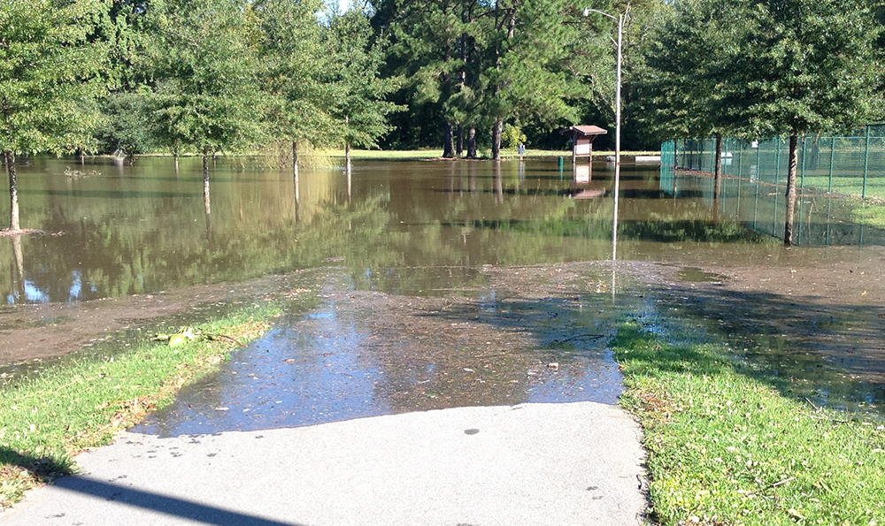
October 10, 2016: Dog park at Greenville greenway.

greenway_01
October 10, 2016: Greenville greenway trail underwater, only the information boards are visible.

town-commons_03
October 10, 2016: Greenville Town Commons from the Greene street bridge.

town-commons_04
October 10, 2016: Tar River flooding at the Town Commons.