Emergency Management Planning Spring 2011
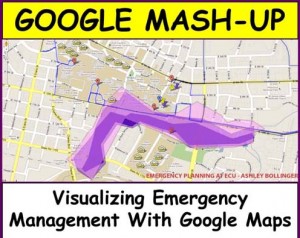
The final class project for Emergency Management Planning (Spring 2011) asked students to use Google Map technology to present information in comprehensible and usable forms. Students synthesize an aspect of Emergency Management applying it to Pitt County or the City of Greenville in North Carolina, and present this information through a Google Mash-Up. Please click on the image link above to see project details.